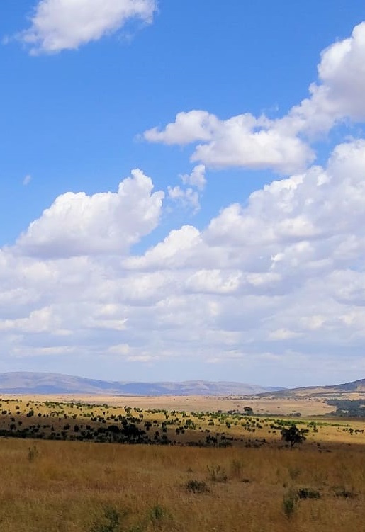
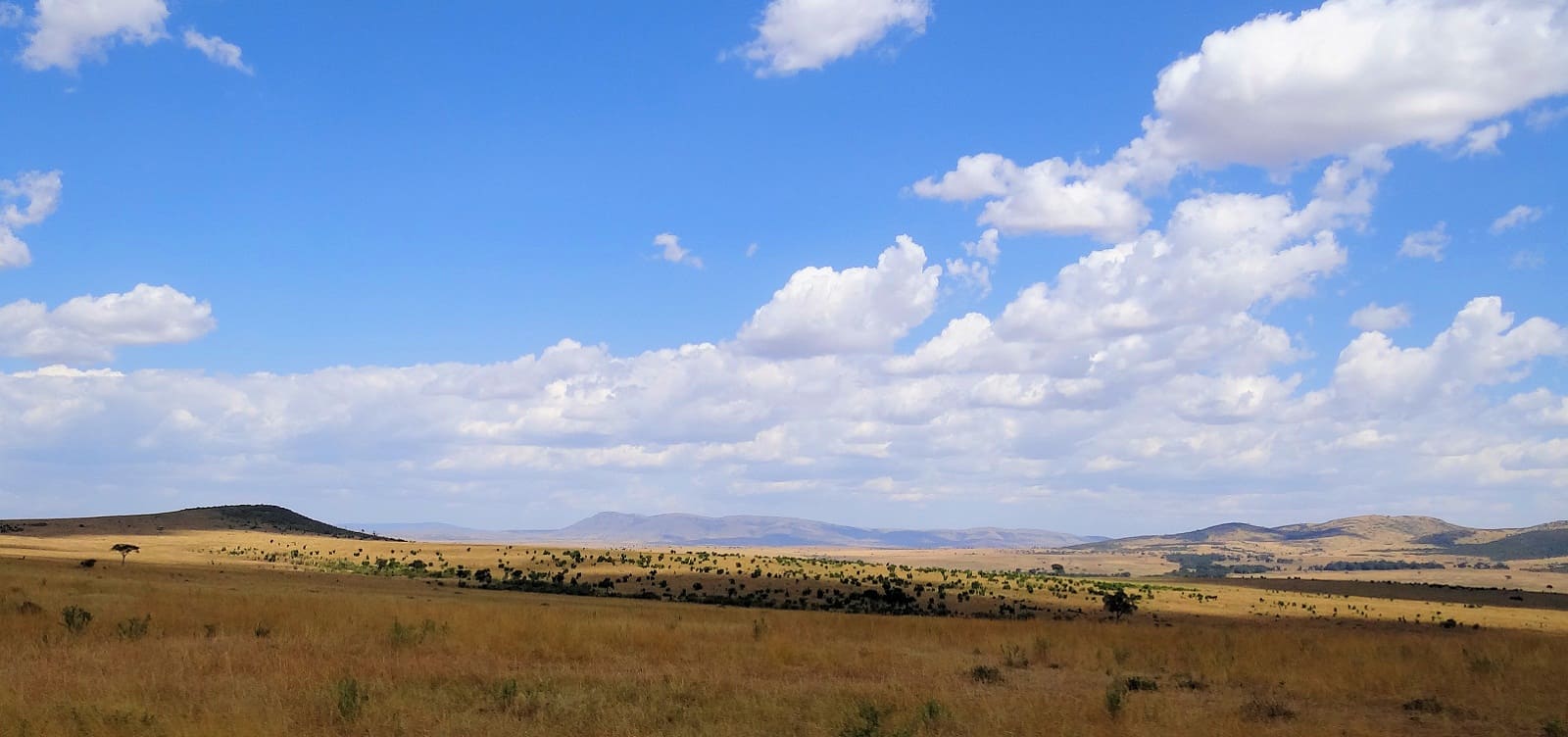
Maasai Mara National Reserve spans an area of about 1,510 sq km , equivalent to 580 sq miles in south west Kenya. The reserve is part of a much larger eco system which includes the bordering Serengeti National Park, ( located in northern Tanzania). Serengeti covers a larger area of approximately 25,000 sq km, equivalent to 9,700 sq miles. While Serengeti neighbors Masai Mara to the south, the western side is bound by the Siria escarpment, with open savannah grassland plains to the north and east of the reserve.
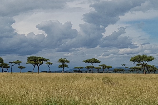
The two major rainfall seasons typical to Kenya also loosely apply to Masai Mara, with the months from April to May and September to November seeing brief rainly spells nonetheless accompanied by hours of sunshine. The terrain in the reserve is typically open grassland and rolling hills, punctuated by a non-seasonal Mara River ( scene of the migration crossings) and seasonal riverlets.
Some basic geographical facts are as below:
Altitude: 1,480–2,280 m approx (4,900–7,200 ft);
Rainfall: 85 mm (3.4 inches) per month;
Temperature range: 12–31 °C (54–87 °F).
.


 A privacy reminder from Masai Mara Travel. Our website may use cookies for a more relevant browsing experience.